
Apayao Province
Brief Description
According to the local Isneg Apayao means negotiable river This new province is perched high above the Cordillera region Literally sandwiched between Ilocos Norte Cagayan Kalinga and Abra the province is branded as Cordilleras Last Frontier of Natures Richness
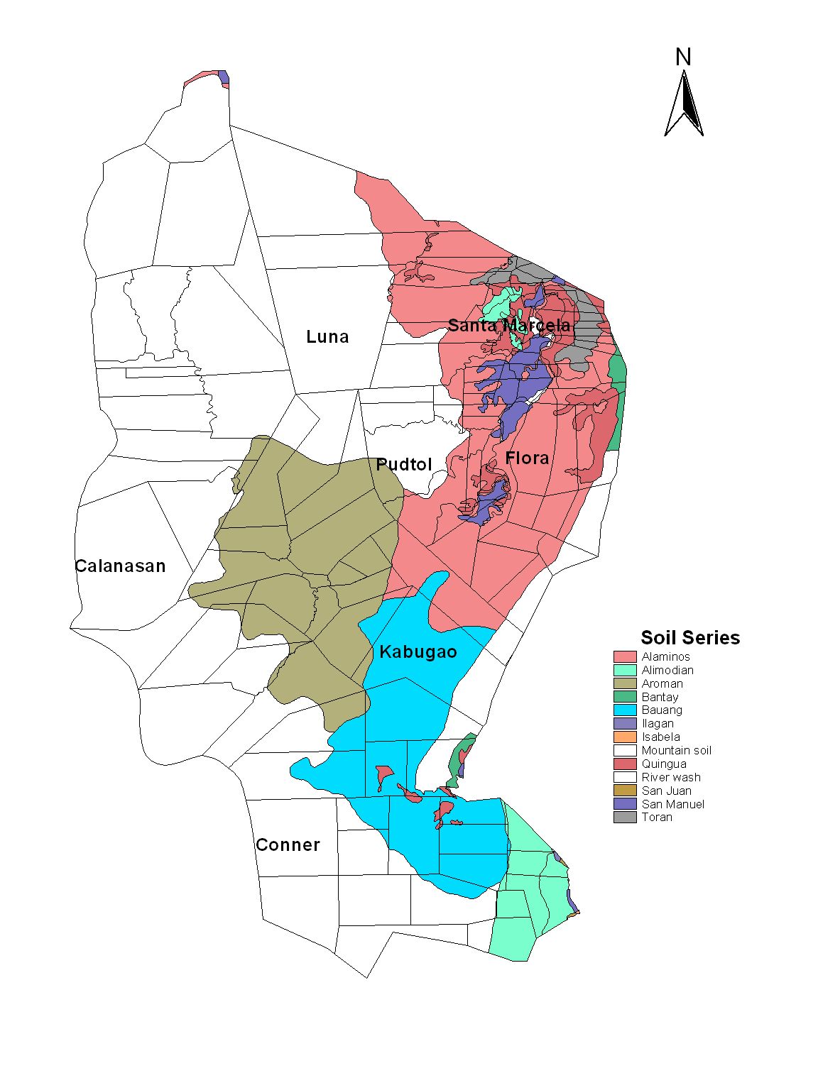
| Geography | The province of Apayao is located at the northernmost tip of the Luzon mainland It is bounded on the east by the province of Cagayan on the west by Ilocos Norte and Abra and on the south by Kalinga The provinces total area is 392790 hectares which is about 21 percent of the total land area of the Cordillera Administrative Region CAR |
| Region | Cordillera Administrative Region |
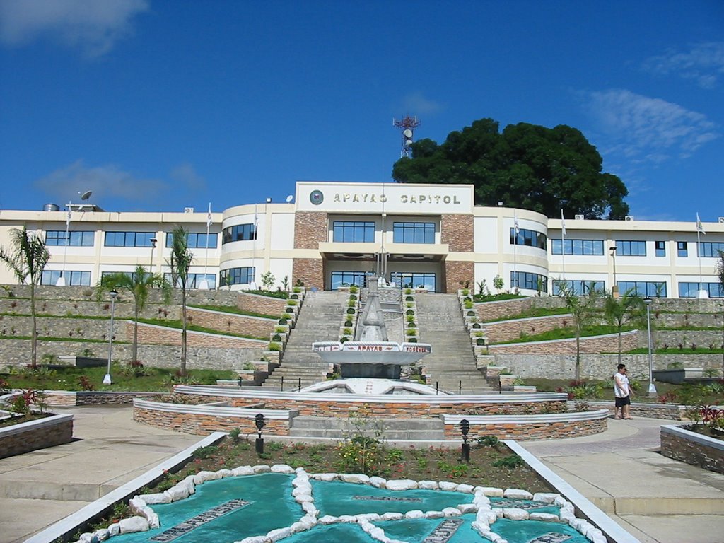
| Capital | Kabugao |
| Barangay | 133 |
| Component Cities | |
| Municipalities | Calanasan (Bayag), Conner, Flora, Kabugao, Luna (Macatel), Pudtol, Santa Marcela |
| Land Area | 4,413.35 |
| Population | 112,636 |
| Climate | The climate in Apayao has a type III classification characterized by not very pronounced dry and wet season relatively from the months of December to April and wet during the rest of the year Heaviest rain occurs during the months of August or September Typhoon frequently occurs during the period from July to OctoberThe coolest month of the year is December to February and May is the warmest month |
| Coordinates | 1745N 12115E |
| All Ecosystem (2015) | |||
|---|---|---|---|
| January - June (mt) | 47,509.00 | July - December (mt) | 48,944.00 |
| Irrigated (2015) | |||
| January - June (mt) | 43,174.00 | July - December (mt) | 28,030.00 |
| Lowland rainfed (2015) | |||
| January - June (mt) | 4,335.00 | July - December (mt) | 11,353.00 |
| Upland (2015) | |||
| January - June (mt) | 0.00 | July - December (mt) | 9,561.00 |