
Aurora Province

Brief Description
Aurora Its a province named after the lady love and wife of President Manuel Quezon How utterly romantic The province itself is a one of the last frontiers of Central Luzon With 70 forest cover and 328 kilometers of pure coast it has gems yet to be discovered Baler is the capitol town and its famous for a historical siege and killer waves
| Geography | Aurora is a coastal province in east central Luzon To the north it is bordered by the Northern Sierra Madre Natural Park of Isabela to the west by the central range of the Sierra Madre which contains the Casecnan Protected Landscape and Aurora Memorial National Park to the south by the Umiray River and to the east by the Philippine Sea which opens to the Pacific Ocean The San Ildefonso Peninsula lies in the provinces northern portion between the Philippine Sea and Casiguran Sound |
| Region | Region III |
| Capital | Baler |
| Barangay | 151 |
| Component Cities | |
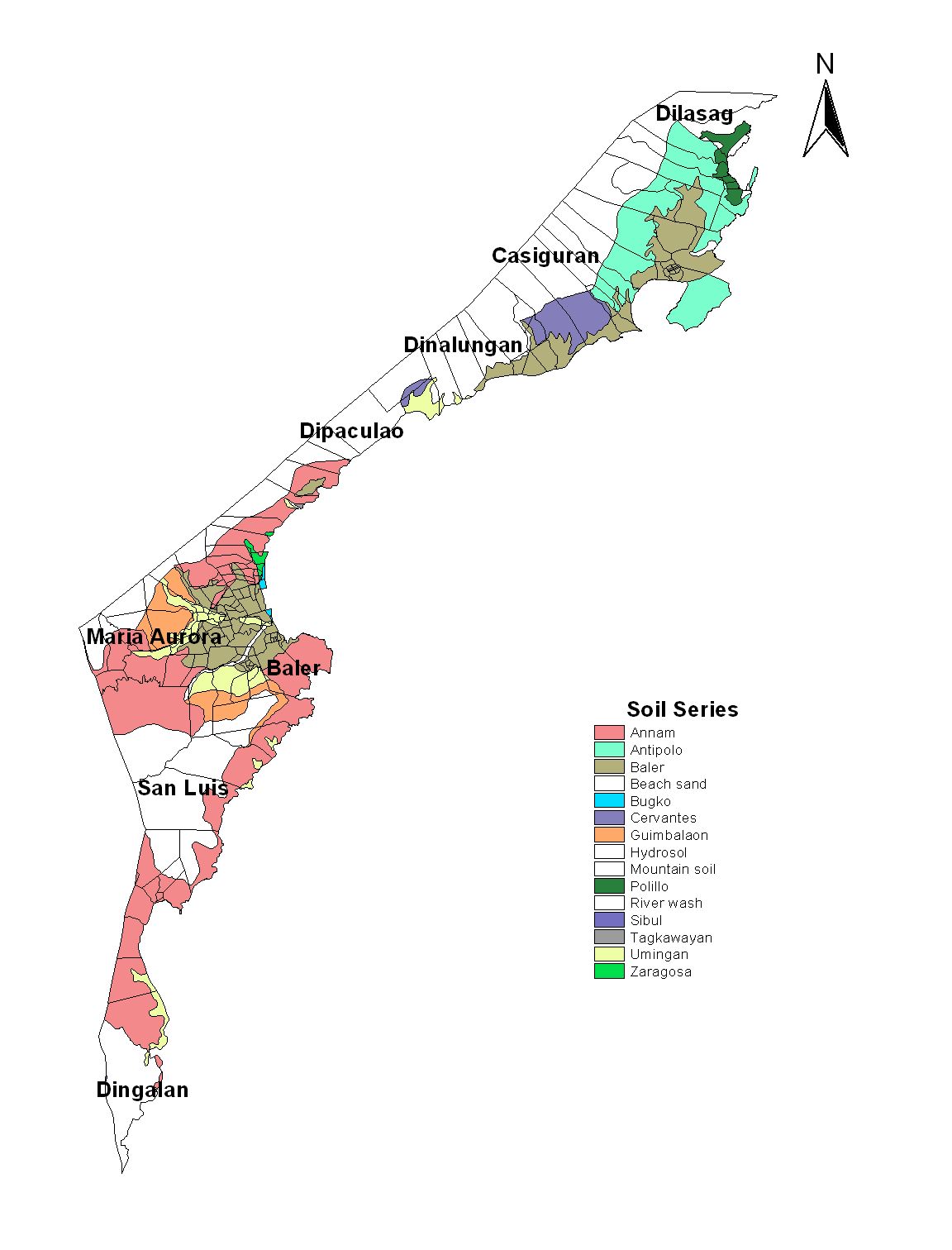
| Municipalities | Baler, Casiguran, Dilasag, Dinalungan, Dipaculao, Dingalan, Maria Aurora, San Luis |
| Land Area | 3,147.32 |
| Population | 201,233 |
| Climate | Auroras climate is characterized by rainfall that is evenly distributed throughout the year since Aurora faces the Pacific Ocean and has no barriers to shield it from typhoons coming from the east Tropical cyclones are also a seasonal occurrence The average monthly rainfall is 2739 millimeters Rainfall is heaviest during the months of January February April October and November while August is the driest month The province experiences two main wind currents From November to April the trade wind generally reaches the province from an easterly direction The wind then moves in a southwesterly direction for the rest of the year In Casiguran the wind comes from the north from October to March and the South from April to September The average annual wind speed is four knots The mean monthly temperature of Aurora is 253 degrees Celsius The coldest months are January and February with a temperature ranging from 193 to 204 degrees Celsius The warmest months are from June to July with temperature from 30 to 33 degrees Celsius |
| Coordinates | 1553N 12133E |
| All ecosystem (2015) | |||
|---|---|---|---|
| January - June (mt) | 64,527.00 | July - December (mt) | 22,444.00 |
| Irrigated (2015) | |||
| January - June (mt) | 61,045.00 | July - December (mt) | 21,131.00 |
| Lowland rainfed (2015) | |||
| January - June (mt) | 3,482.00 | July - December (mt) | 1,313.00 |
| Upland (2015) | |||
| January - June (mt) | 0.00 | July - December (mt) | 0.00 |