
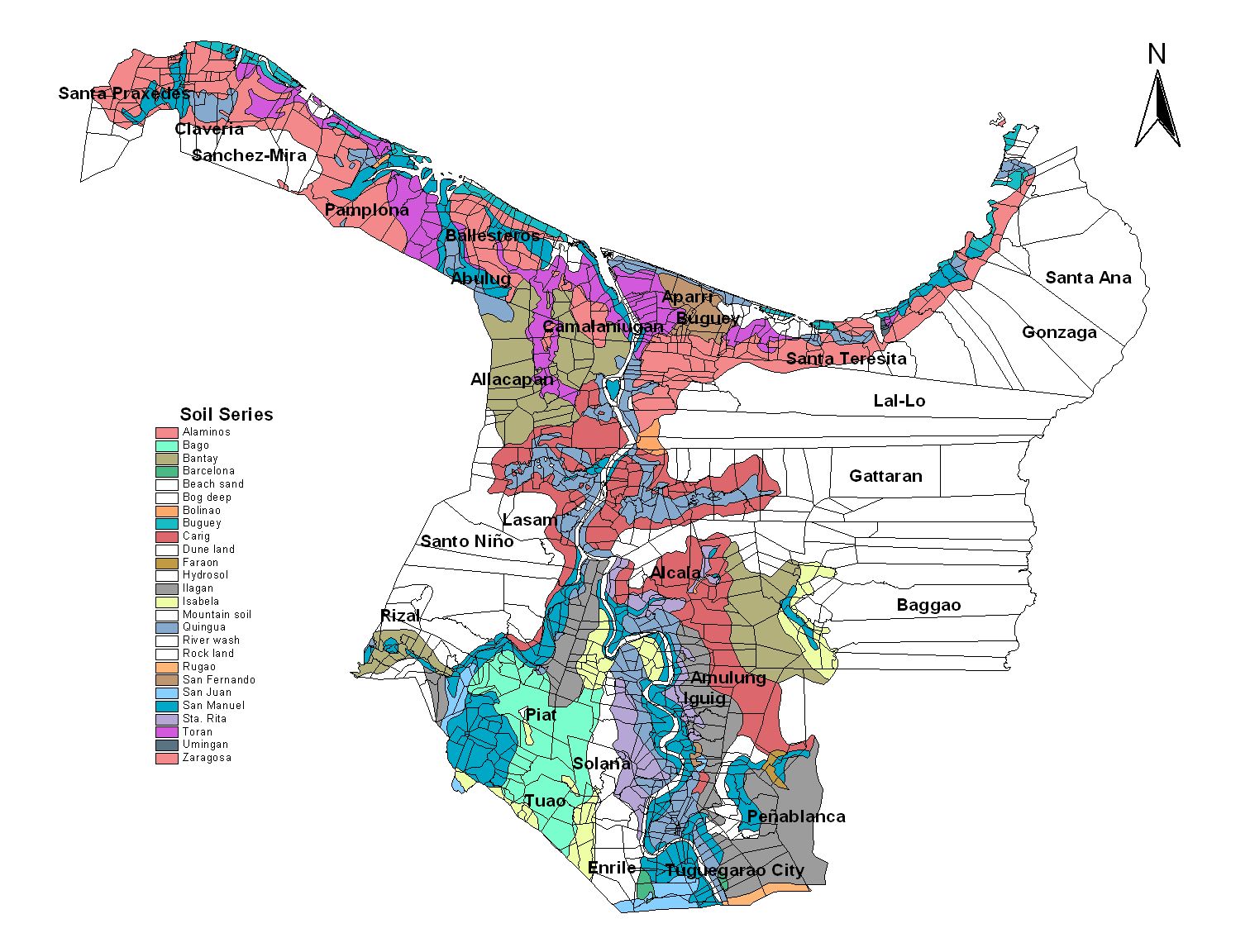
Cagayan Province
Brief Description
Cagayan is part of one of the largest valleys in the Philippines formed by the majestic Sierra Madre and Cordillera mountain ranges It is traversed by the mighty 330 km long Cagayan River and its various tributaries Cagayan is a very ancient civilization It has its distinct rich and diverse culture Commerce and trade was practiced by its inhabitants and has flourished with the Japanese Chinese and other neighbor Asian countries even before the Spanish colonizers reached its shores Archeological findings dating back to the Paleolithic Age indicate that the ancestors of modern humans had settled in Cagayan as early as 500000 years ago Archeologists also found evidences that agriculture has developed much earlier in Cagayan than in any other place in Asia Its ancientness is evidenced by the presence of centuries old churches and other religious relics archeological sites of nomadic tribes and richness of its local language and culture
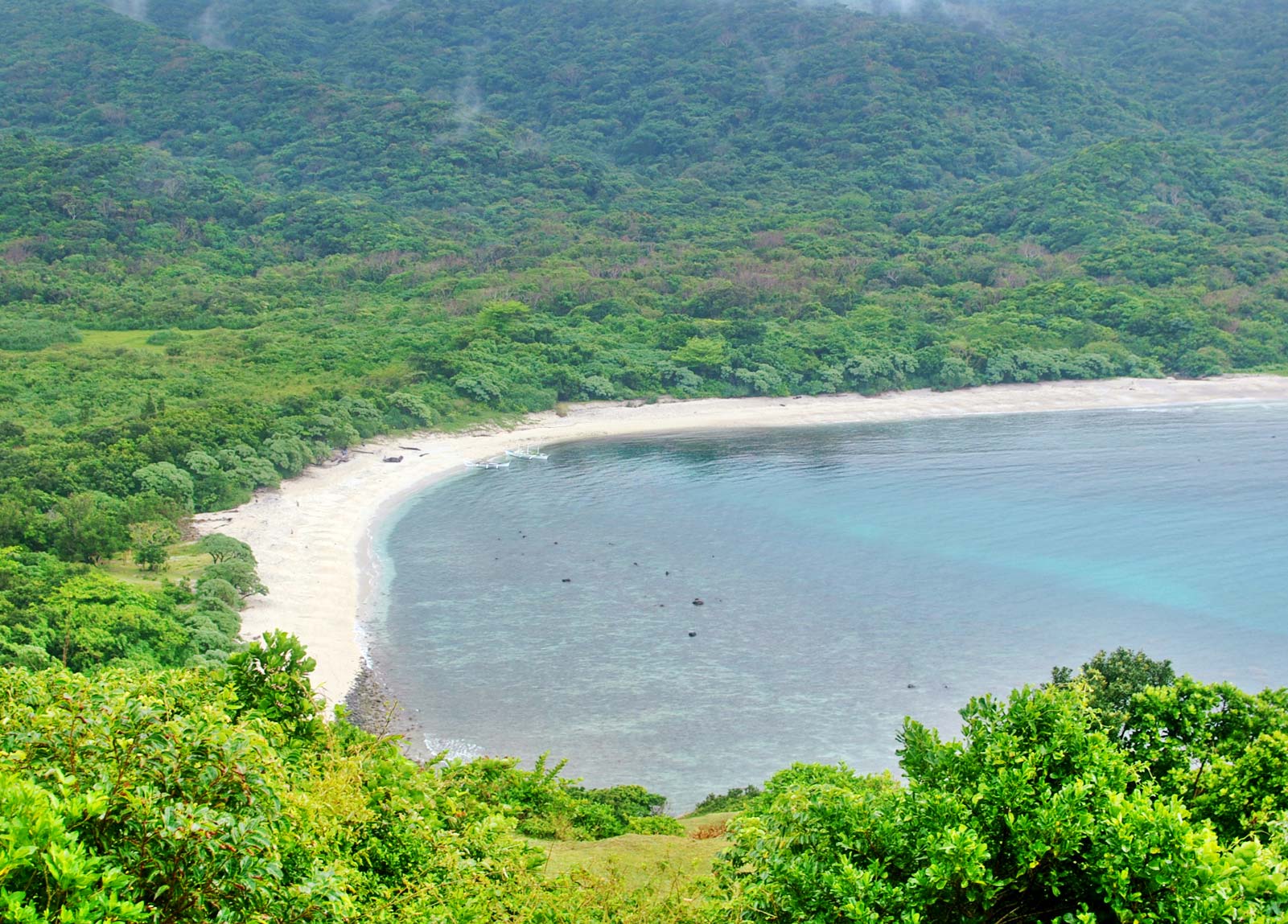
| Geography | The province is bounded by the Pacific Ocean on the east on the south by Isabela province on the west by the Cordillera Mountains and on the north by the Balintang Channel and the Babuyan Group of Islands About two kilometers from the northeastern tip of the province is the island of Palaui a few kilometers to the west is Fuga Island The Babuyan Group of Islands which includes Calayan Dalupiri Camiguin and Babuyan Claro is about 60 nautical miles 110km north of Luzon mainland |
| Region | Region II |
| Capital | Tuguegarao City |
| Barangay | 820 |
| Component Cities | Tuguegarao City |
| Municipalities | Abulug, Alcala, Allacapan, Amulung, Aparri, Baggao, Ballesteros, Buguey, Calayan, Camalaniugan, Claveria, Enrile, Gattaran, Gonzaga, Iguig, Lal-Lo, Lasam, Pamplona, Pe |
| Land Area | 9,295.75 |
| Population | 1,124,773 |
| Climate | Cagayan has three types of climate Type I climate prevails in Sta Praxedes and in western Claveria which have two pronounced seasons wet May to October and dry the rest of the year Type III climate is experienced in the eastern part of the Sierra Madre mountains and in the Babuyan group of islands where rainfall is evenly distributed throughout the year mainly because of the northeast tradewinds This further enhances the economic potential of the level land along the Pacific coast of the province The rest of the province which consists of the valley floor has Type II climate and that means no pronounced season relatively wet from May to October Maximum rain periods are not very pronounced and dry seasons last from one to three months |
| Coordinates | 1800N 12148E |
| All ecosystem (2015) | |||
|---|---|---|---|
| January - June (mt) | 540,479.00 | July - December (mt) | 343,855.00 |
| Irrigated (2015) | |||
| January - June (mt) | 452,043.00 | July - December (mt) | 316,361.00 |
| Lowland rainfed (2015) | |||
| January - June (mt) | 88,436.00 | July - December (mt) | 25,394.00 |
| Upland (2015) | |||
| January - June (mt) | 0.00 | July - December (mt) | 2,100.00 |