
Ilocos Sur Province
Brief Description
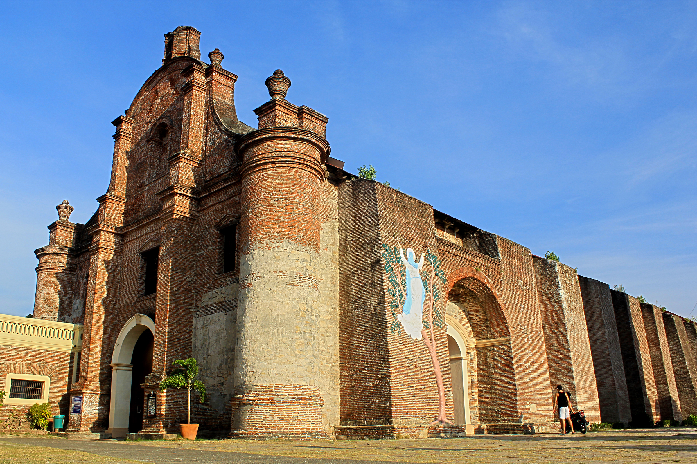
The province of Ilocos Sur is where the Ilocos Regions myriad of cultures and histories converge to become a living museum of a spirited past A national shrine a national landmark a national museum heritage museums ancestral houses period houses cobble stoned streets they all share space in the timeless land of Ilocos Sur
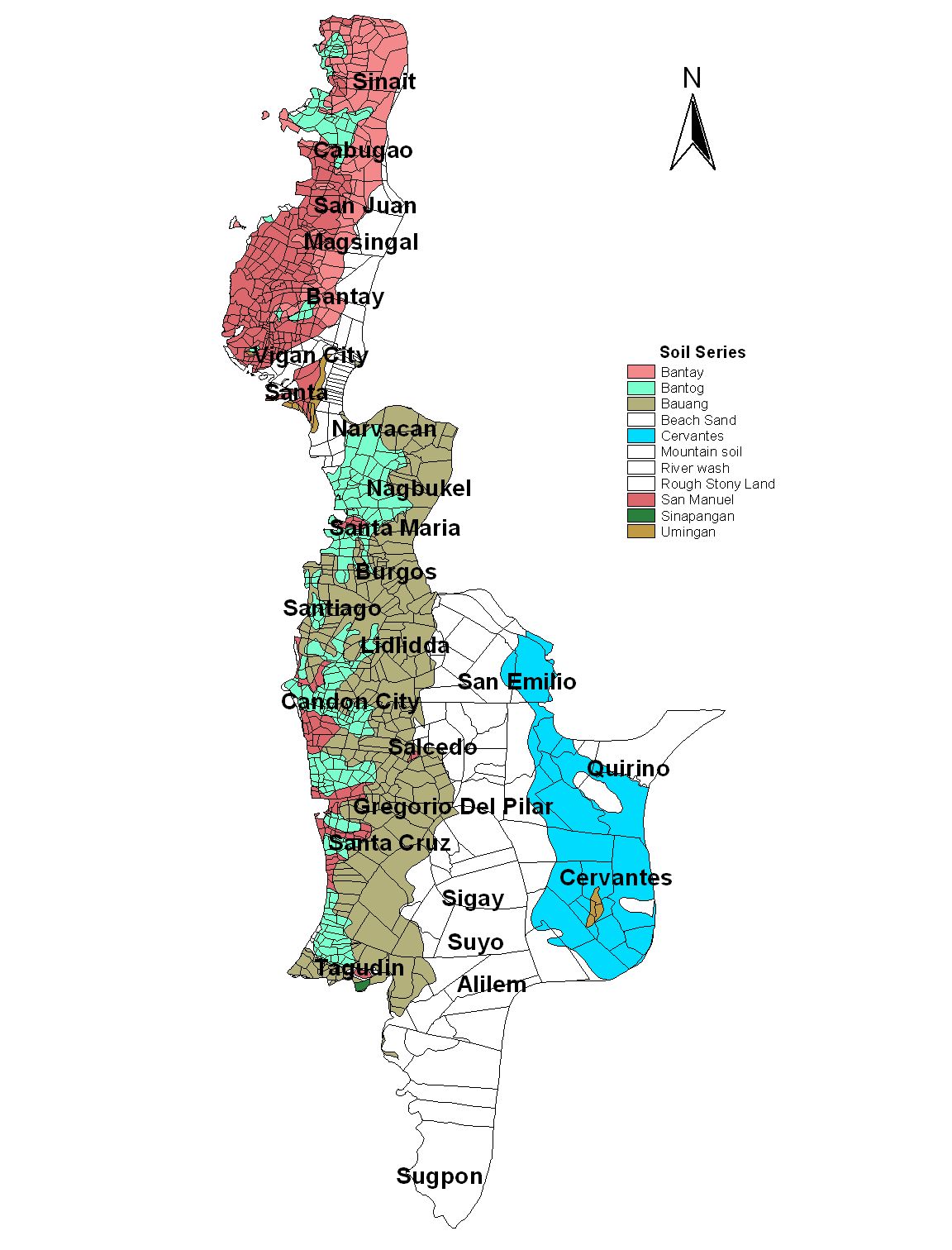
| Geography | Ilocos Sur is located along the western coast of Northern Luzon It is bounded by Ilocos Norte on the north Abra on the northeast Mt Province on the east Benguet on the southeast La Union on the south and the China Sea on the west |
| Region | Region I |
| Capital | Vigan City |
| Barangay | 768 |
| Component Cities | Candon City, Vigan City |
| Municipalities | Alilem, Banayoyo, Bantay, Burgos, Cabugao, Caoayan, Cervantes, Galimuyod, Gregorio del Pilar (Concepcion), Lidlidda, Magsingal, Nagbukel, Narvacan, Quirino (Angaki), Salcedo (Baugen), San Emilio, San Esteban, San Ildefonso, San Juan (Lapog), San Vicente, Santa, Santa Catalina, Santa Cruz, Santa Lucia, Santa Maria, Santiago, Santo Domingo, Sigay, Sinait, Sugpon, Suyo, Tagudin |
| Land Area | 2,596.00 |
| Population | 658,587 |
| Climate | The climate is generally dry as defined by the Hernandez type of climate Classification is characterized by more dry months usually from October to May However the southernmost portion part of Cervantes is observed to be humid and rain is evenly distributed throughout the year while the eastern part of Sugpon is dry with rain not sufficiently distributed August has the most rainfall while January and February have the least The mean temperature in the province is 27 degrees C January is the coldest |
| Coordinates | 1720N 12035E |
| All ecosystem (2015) | |||
|---|---|---|---|
| January - June (mt) | 24,183.00 | July - December (mt) | 186,692.00 |
| Irrigated (2015) | |||
| January - June (mt) | 24,183.00 | July - December (mt) | 103,137.00 |
| Lowland rainfed (2015) | |||
| January - June (mt) | 0.00 | July - December (mt) | 82,263.00 |
| Upland (2015) | |||
| January - June (mt) | 0.00 | July - December (mt) | 1,292.00 |