
La Union Province

Brief Description
Situated on the northwestern coast of Luzon La Union is the gateway to the Ilocos Region With its strategic location the province has become the business education and government center of the Ilocos Not only is La Union the regions center for trade but also of religious devotees who flock to one of the countrys popular pilgrimage destinations especially during Lent Agoo the oldest town of La Union was once the site of the much publicized divine visitations of the Virgin Mary The Agoo Apparition Site in San Antonio has established the town as a destination of choice for Marian devotees Agoo comes alive most on Semana Santa or the Holy Week which is the week before Easter Yearly the townspeople bear witness to ardent devotees relentlessly pulling life size statues depicting the 14 Stations of the Cross along the processional roads in Agoo during the Good Friday procession on Semana Santa ut the province is not wanting of natural attractions thanks to seascapes that make it a watersports paradise The surf fronting Monaliza in Urbiztondo San Juan is the best site for board surfing from November to February other good sites are in Carlatan and Wallace in San Fernando Scuba diving is ideal in Fagg Reef which is adorned by sharks barracuda sea snakes Moray eels and other friendly sea creatures and Research Reef which is endowed with several tunnels caverns and crevices
| Geography | La Union is located in the southwestern part of Region I and stretches over a length of 102 kilometers from North to SouthIt is bounded on the north by Ilocos Sur on the south by Pangasinan on the east by Benguet and on the west by the China Sea It has a land with a predominantly hilly terrain that gradually rises eastward from the shore Its irregular coastal plain is narrowest in Damortis Sto Tomas and widest in Balaoan Its highest peak is in Bagulin with an elevation of 1200 feet above sea level The province has several rivers which are short and rapid |
| Region | Region I |
| Capital | San Fernando City |
| Barangay | 576 |
| Component Cities | San Fernando City |
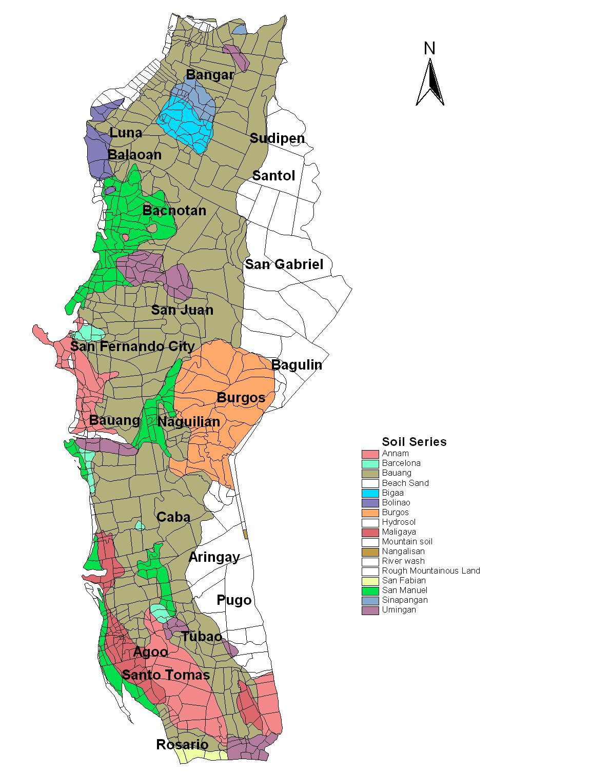
| Municipalities | Agoo, Aringay, Bacnotan, Bagulin, Balaoan, Bangar, Bauang, Burgos, Caba, Luna, Naguilian, Pugo, Rosario, San Gabriel, San Juan, Santo Tomas, Santol, Sudipen, Tubao |
| Land Area | 1,497.70 |
| Population | 741,906 |
| Climate | The climate condition prevailing in La Union is dry from November to April and wet from May to October The southwest monsoon brings about the abundant rainfall experienced during the wet season The relatively dry season is caused by the northeast monsoon passing over the Cordillera Mountains The average temperature is 2721C |
| Coordinates | 1637N 12019E |
| All ecosystem (2015) | |||
|---|---|---|---|
| January - June (mt) | 34,650.00 | July - December (mt) | 137,350.00 |
| Irrigated (2015) | |||
| January - June (mt) | 34,650.00 | July - December (mt) | 76,686.00 |
| Lowland rainfed (2015) | |||
| January - June (mt) | 0.00 | July - December (mt) | 60,077.00 |
| Upland (2015) | |||
| January - June (mt) | 0.00 | July - December (mt) | 587.00 |