
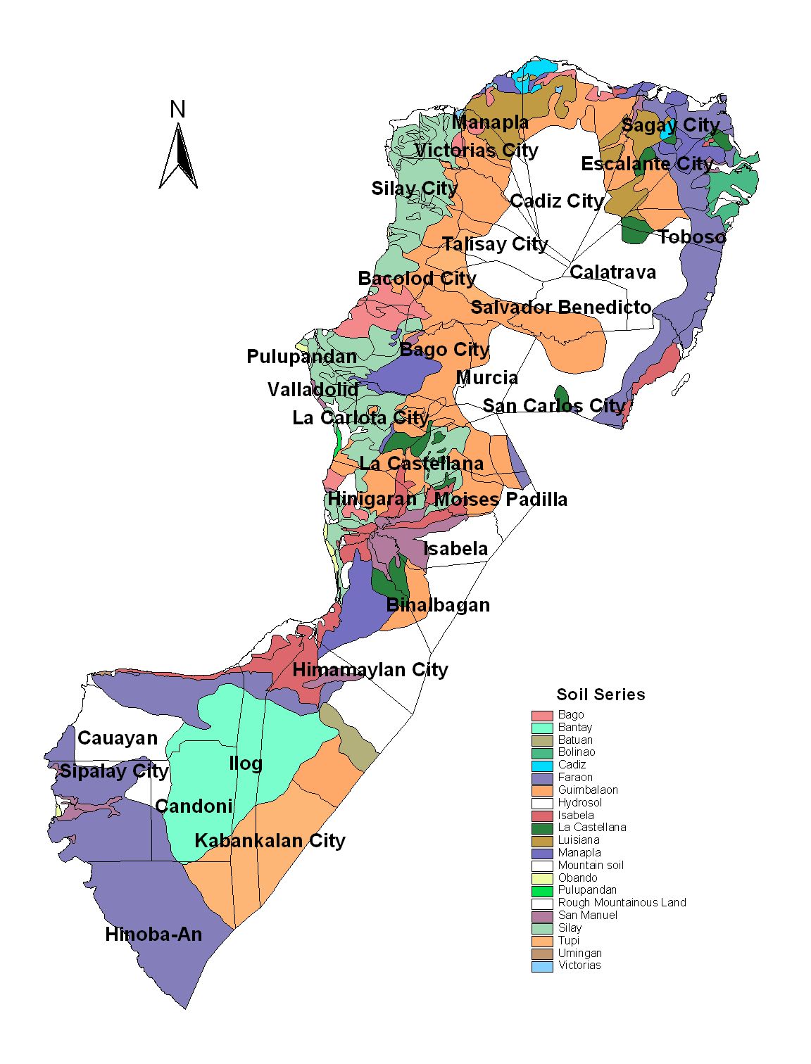
Negros Occidental Province
Brief Description
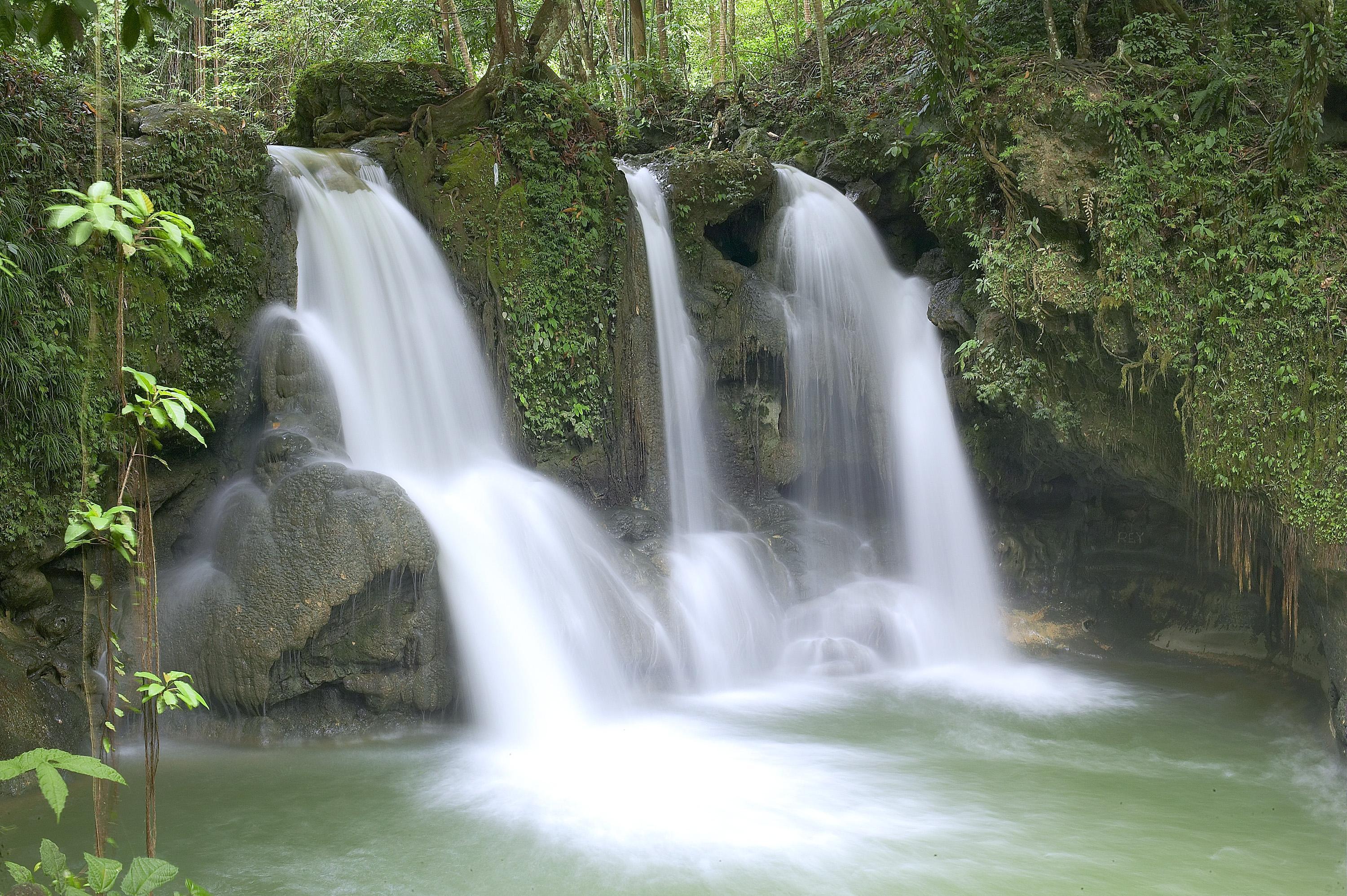
Negros Occidental is blessed with beautiful natural scenery unexplored waterfalls and mountains white sand beaches and crystal springs Known as the Sugarbowl of the Philippines and produces more than half the nations sugar output
| Geography | Negros Occidental is located in the western side of Negros Island the fourth largest island in the Philippines The province is approximately 375 kilometers long from north to south It is bounded by the Visayan Sea in the north Panay Gulf on the west Tanon Strait and Negros Oriental province on the east and Sulu Sea on the south Negros is basically volcanic making its soil ideal for agriculture Eighty percent of all arable land is cultivated |
| Region | Region VI |
| Capital | Bacolod City |
| Barangay | 601 |
| Component Cities | Bacolod City, Bago City, Cadiz City, Escalante City, Himamaylan City, Kabankalan City, La Carlota City, Sagay City, San Carlos City, Silay City, Sipalay City, Talisay City, Victorias City |
| Municipalities | Binalbagan, Calatrava, Candoni, Cauayan, Enrique B. Magalona (Saravia), Hinigaran, Hinoba-an (Asia), Ilog, Isabela, La Castellana, Manapla, Moises Padilla (Magallon), Murcia, Pontevedra, Pulupandan, Salvador Benedicto, San Enrique, Toboso, Valladolid |
| Land Area | 7,965.21 |
| Population | 2,396,039 |
| Climate | Negros Occidentals climate is generally pleasant with a dry season from December to May and rainy season from June to November The warmest months are April and May and the coolest are from December to February The average temperature is 26C80F |
| Coordinates | 1025N 12300E |
| Upland (2015) | |||
|---|---|---|---|
| January - June (mt) | 0.00 | July - December (mt) | 7,391.00 |
| Lowland rainfed (2015) | |||
| January - June (mt) | 19,179.00 | July - December (mt) | 119,280.00 |
| Irrigated (2015) | |||
| January - June (mt) | 97,764.00 | July - December (mt) | 247,625.00 |
| All ecosystem (2015) | |||
| January - June (mt) | 116,943.00 | July - December (mt) | 374,296.00 |