
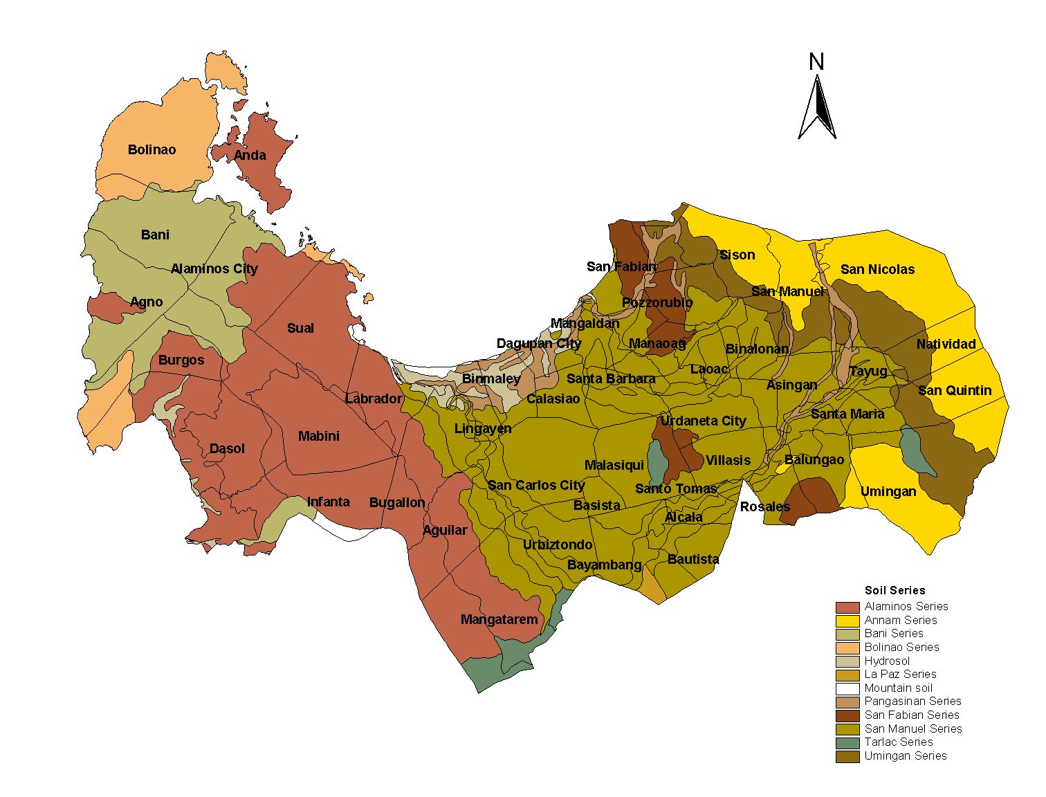
Pangasinan Province
Brief Description
The third biggest province in the whole Philippine Archipelago derived its name from salt or asin in the vernacular Owing to the rich and fine salt beds which were the prime source of livelihood for the provinces coastal towns PanagASINan or Pangasinan which means where salt is made came to be its name
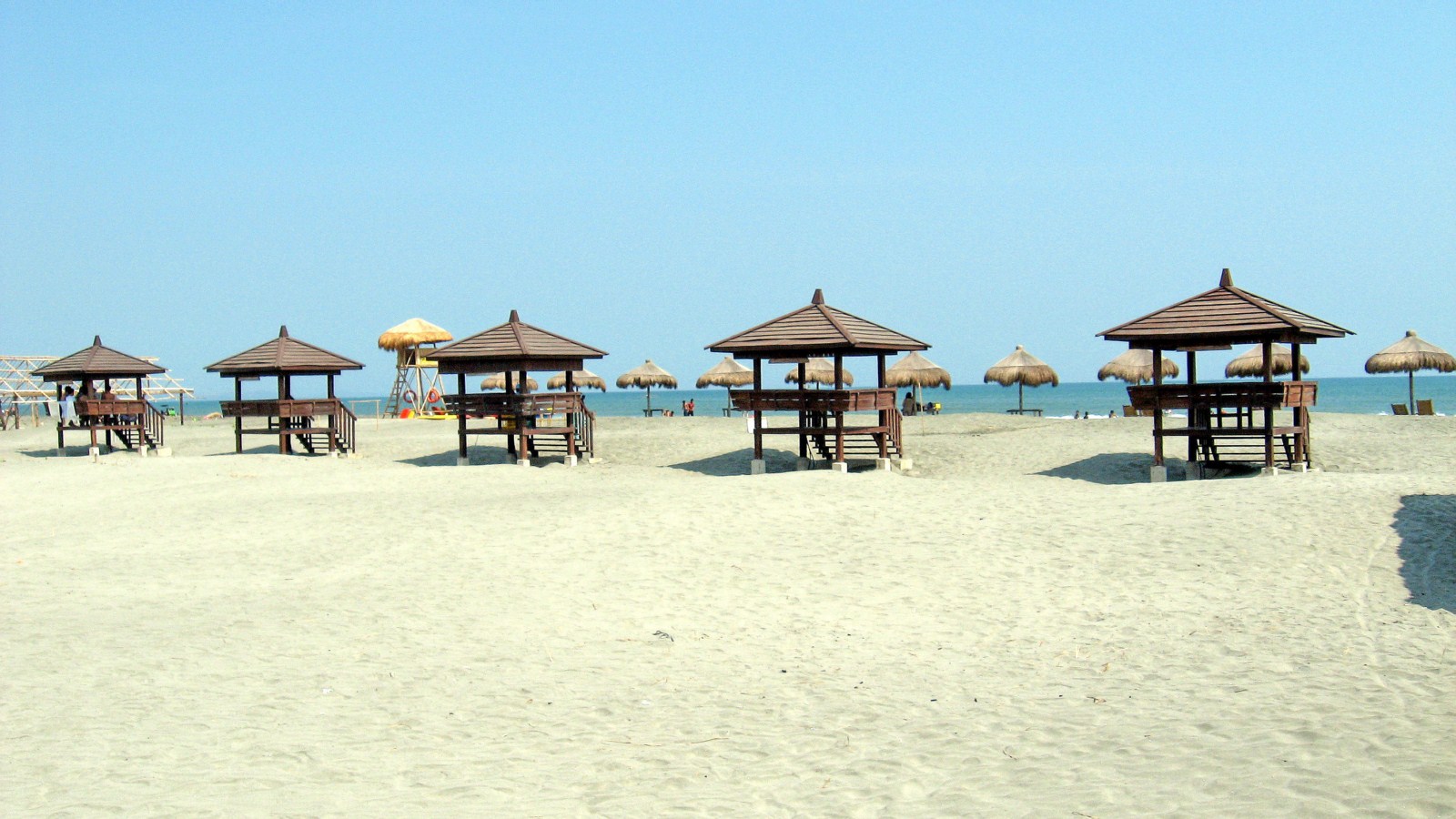
| Geography | Pangasinan is located on the west central area of the island of Luzon in the Philippines It is bordered by La Union and Benguet to the north Nueva Vizcaya and Nueva Ecija to the east and Zambales and Tarlac to the south To the west of Pangasinan is the South China Sea The province also encloses the Lingayen Gulf It is 170 kilometers 105633 mi north of Manila 50 kilometers 310685 mi south of Baguio City 115 kilometers 714576 mi north of Subic International Airport and Seaport and 80 kilometers 497096 mi north of Clark International Airport At the coast of Alaminos the Hundred islands have become a famous tourist spot |
| Region | Region I |
| Capital | Lingayen |
| Barangay | 1333 |
| Component Cities | Alaminos City, Dagupan City, San Carlos City, Urdaneta City |
| Municipalities | Pozorrubio, Rosales, San Fabian, San Jacinto, San Manuel, San Nicolas, San Quintin, Santa Barbara, Santa Maria, Santo Tomas, Sison, Sual, Tayug, Umingan, Urbiztondo, Villasis |
| Land Area | 5,451.01 |
| Population | 2,779,862 |
| Climate | The province has two distinct seasons: dry from November to May and wet the rest of the year. It is protected from the northeast monsoon and trade winds by mountain ranges on its northern portion but typhoons occasionally move in from the South China Sea. Heavy rainfall may cause flooding. |
| Coordinates | 1555N 12020 |
| All ecosystem (2015) | |||
|---|---|---|---|
| January - June (mt) | 342,744.00 | July - December (mt) | 738,413.00 |
| Irrigated (2015) | |||
| January - June (mt) | 341,849.00 | July - December (mt) | 443,619.00 |
| Lowland rainfed (2015) | |||
| January - June (mt) | 895.00 | July - December (mt) | 294,342.00 |
| Upland (2015) | |||
| January - June (mt) | 0.00 | July - December (mt) | 452.00 |